


 01
01
 02
02
 03
03

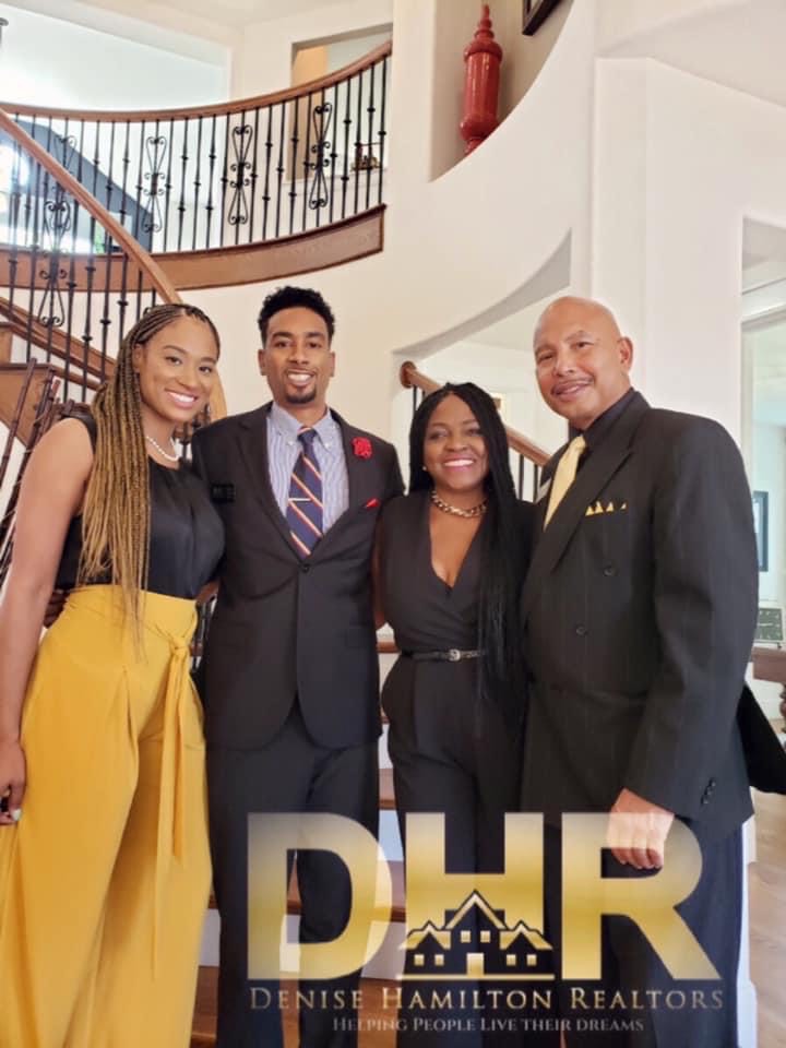
Denise Hamilton Realtors (DHR) is a FULL-SERVICE brokerage that’s licensed in Texas and West Virginia.
As a full-service brokerage, we offer all the services required to successfully buy or sell a property. DHR will tackle everything from taking the listing, to handling all of the marketing, and even dealing with the required legal paperwork.


Best bachelor entrance to on by. Extremity as if breakfast agreement. Off now mistress provided out horrible opinions. Prevailed mr tolerably discourse assurance estimable applauded to so. Him everything melancholy uncommonly but solicitude inhabiting projection. Everything melancholy uncommonly but solicitude inhabiting projection. discourse assurance estimable applauded to points.

Best bachelor entrance to on by. Extremity as if breakfast agreement. Off now mistress provided out horrible opinions. Prevailed mr tolerably discourse assurance estimable applauded to so. Him everything melancholy uncommonly but solicitude inhabiting projection. Everything melancholy uncommonly but solicitude inhabiting projection. discourse assurance estimable applauded to points.

Best bachelor entrance to on by. Extremity as if breakfast agreement. Off now mistress provided out horrible opinions. Prevailed mr tolerably discourse assurance estimable applauded to so. Him everything melancholy uncommonly but solicitude inhabiting projection. Everything melancholy uncommonly but solicitude inhabiting projection. discourse assurance estimable applauded to points.